Day 2 - Island CG to Skull Creek CG - June 4, 2026
I started the day early because I knew I had two big climbs for the day and I wanted to make camp at a decent hour. Woke at 6 and was riding by 8.
My breakfast epiphany was that I could use my caffeinated chocolate to scoop my peanut butter packets and keep my spoon clean. Efficiency and great morning fuel that kept me from getting a caffeine withdrawal headache. Yay!
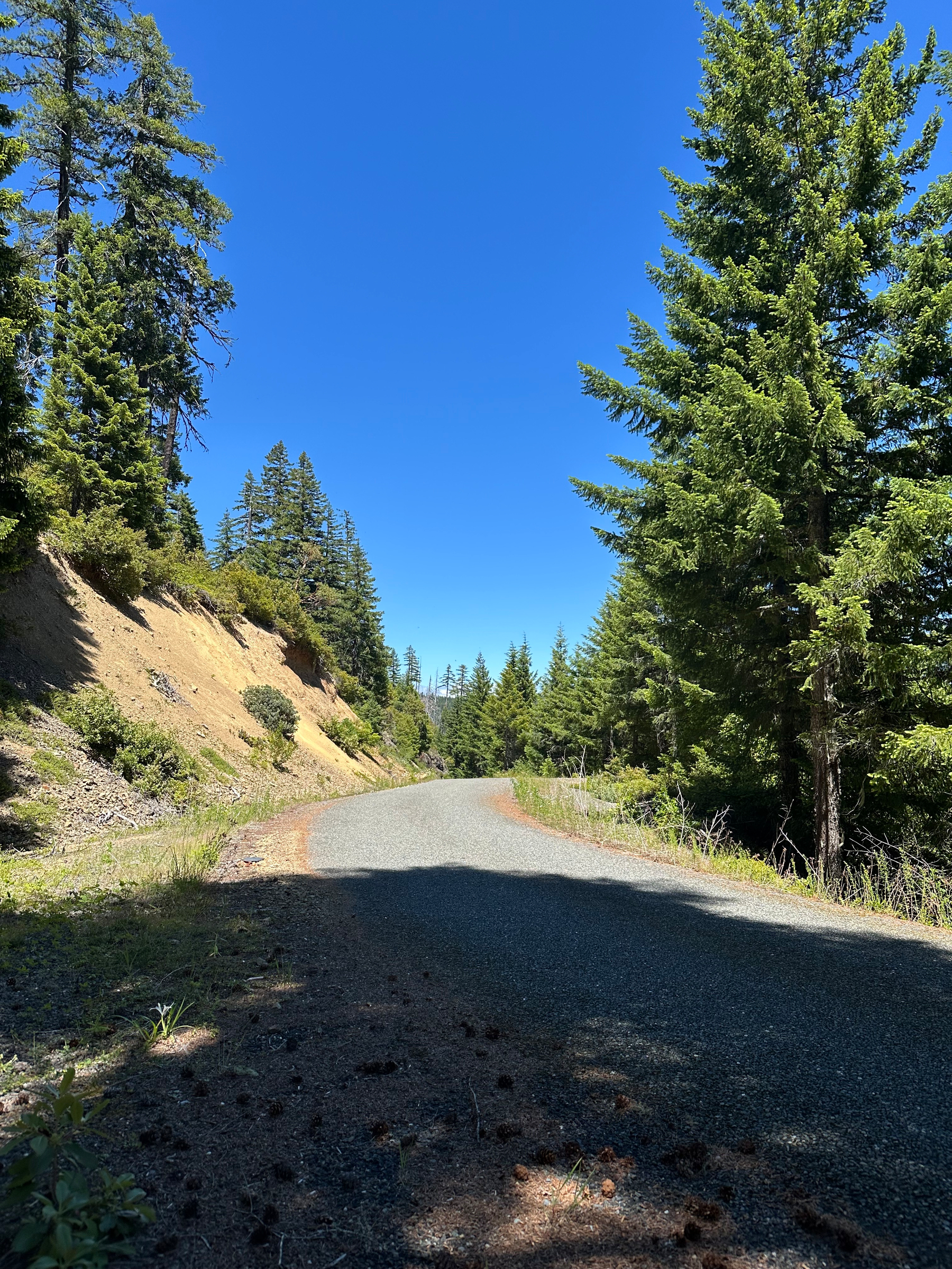
First big climb started by back tracking my route from the night before and then connected with the ACA route. The climb was all paved and had nice tree cover. It had some tough grades that held on for a while, but let up enough to make it all rideable. I was beginning to decipher the average grade math. Above 6% meant you were in for quite a bit of sustained 9-12% on the actual climb. The climbing was unlike the Cascades or even the Rockies; Oregon Costal grades kicked up HARD.
After the first climb the road was much more mellow. No traffic after the first climb (only a Trans America Trail kitted out Subaru with friend). The road rose and fell, but it ran right next to a river. It was a sweet reward.
The next vehicles I saw were cyclists from WA and KS heading towards me. I’m going to call them ‘Team Joey’. Joey was one of them and was just done podiuming at Unbound (gravel race). They were camping in an RV with follow vehicle and cycling a version of the GGR, switching out riders and drivers. The three woman, one man crew was starting the day through Powers, OR,a place not on my route. We exchanged info on what was to come in both directions and headed off. They seemed intent on doing the pass into Port Orford I had done the day before; they had some fun downhill ahead with the exception of the person driving the RV.
The road continued its mellowness through Eden Valley. This stretch was absolutely gorgeous. I passed dispersed and designated campsites along the way. I wasn’t tired enough to stop, but they all looked great; creekside with shade in the lush forest. No one present at the campsites on an early Summer Thursday (OR schools still in session).
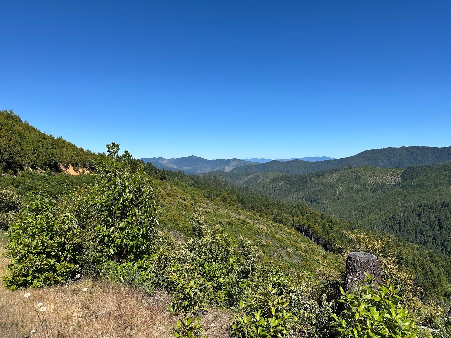
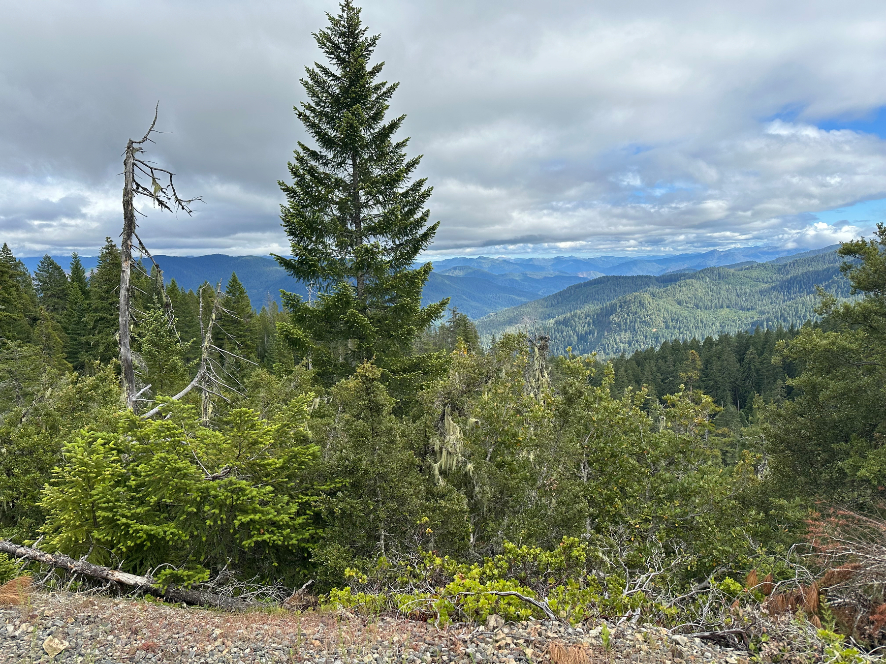
The further away from Eden Valley I got the more the canopy opened until I hit my second big climb for the day. Rolling my finger over the Ride With GPS (RWGPS) elevation profile I knew this was going to be tough. It kicked up the higher it got. The climb did not disappoint. While the climb was paved it kept grades in the 9-12% range for quite a bit of time and occasionally mellowed to 5-6% in sections, offering a nice break. The tree canopy was gone and even though it wasn’t a hot day I didn’t have clouds or leaves to protect me from the sun like my earlier climb; it was toasty.
Nearing the top of the second climb I met Ted. Ted was a local and out to do some amateur archeology. He liked checking out old mining sites with his dog. His family had been in the area since the 1960s and he’d grown up riding these hills on his motorcycle. Ted was very interested in what I was doing and why I was taking such a non-direct route as I bounced between small towns in OR. He wanted to make sure I knew where I was going. When we parted ways I had a feeling I’d see him again.
I decided not to take Ted’s shortcut. After finishing the big climb I had a couple smaller ones to finish the day and a paved, steep descent into a former clear cut that Team Joey had warned me was coming. I stopped once on it to let my rotors cool off a bit. The day finished in a striped, two lane road and a short climb into Skull Creek CG.
Skull Creek CG was BLM, so no fees. Metal picnic tables, pit toilets and straw grass to lay your tent on. The CG is designed more for RVs, but I had the place to myself short of a pop-up camper that was unoccupied.
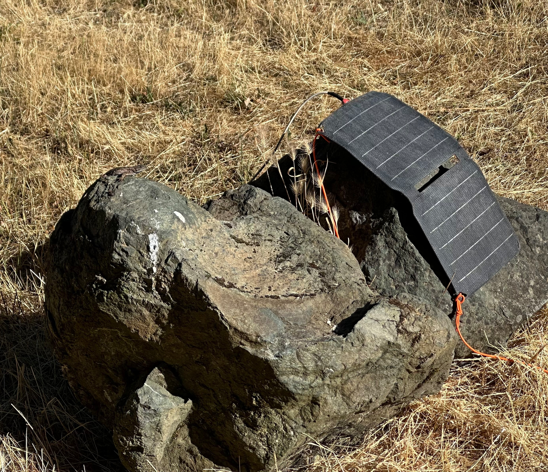
Being almost-bingo on water (I carry nearly 5 liters, but had not filtered throughout the day) I locked my bike up with glorified zip tie, changed, positioned my solar panel, aired out my ground cloth and went on the hunt for the way to get to the creek I saw right before the CG. A walk through the ‘back side’ of the site revealed a couple more campsites off of the main one and a thorny path down to the creek. I’d deal with the thorns if I had to, but I thought I could do better. I walked across the street to a ‘mining claim’ and found an easier path to water there. I bagged 6 liters of water and walked back to camp.
Fifteen minutes after returning from my water gathering walk I see Ted’s Jeep roll into the CG. We chatted a bit more and he still thought I was crazy, but he understood that the most direct route isn’t always the best one. Ted is one of the reasons I love bike touring; meeting nice people you’d never bump into in everyday life.
Ted wouldn’t be my last encounter for the night. Right as I was starting my gourmet dinner another car rolls in. I initially figure it’ll be the pop-up people, but it was a couple that lived close-ish by and they were driving through in their way back home. I was offered and accepted a beer (Trail Magic) and we started talking. This was bear hunting camp for their family and they wanted to see if I was hunting. Nope:) I mentioned that I hadn’t seen a bear on the trip and they responded that they saw one that day on the other side of I5. Guess I was going to bear hang tonight. We parted ways with the couple giving me a few daisies just in case any cute girls rolled into camp so I could ‘impress’. Pretty funny stuff. I had my cute girl back at home and the daisies wouldn’t make it, but they are one of my favorite flowers so they stayed in my feed bag until the next morning.
The night finished with the pop-up camper crew returning around 3am. They rolled into the campground quietly enough for me to sleep through it, but their truck bed light woke me up. I was a little alarmed, but not enough to investigate more before rolling over and going back to bed.
By the numbers: 44mi and 4500ft
Logistics: Water was available throughout the day, but not on the big climbs, and even after the first climb the creek was not easily accessible even though you rode right beside it. Eden Valley (before second big climb) had a couple places where it was easy to get to water, but from the second climb to the finish at the Skull Creek CG water was not easy to get to at all.
Skull Creek CG had water that you could walk down to from the back side of the CG. You’ll see it as you near the CG. The easiest access I found is across the paved road from the CG.
If I were to do it again: I’d have camped at the Eden Valley CG. It cuts the second big climb out of the day as I had ridden it, and it was a pretty spot, close to water. You could tackle the second big climb in the morning if it’s hot. Ambient temps were in the high 60F for me and that second climb was toasty because of the pavement and lack of canopy. My Garmin registered 90F on the climb in the afternoon.
Day 1 - Port Orford to Island CG - June 3, 2026
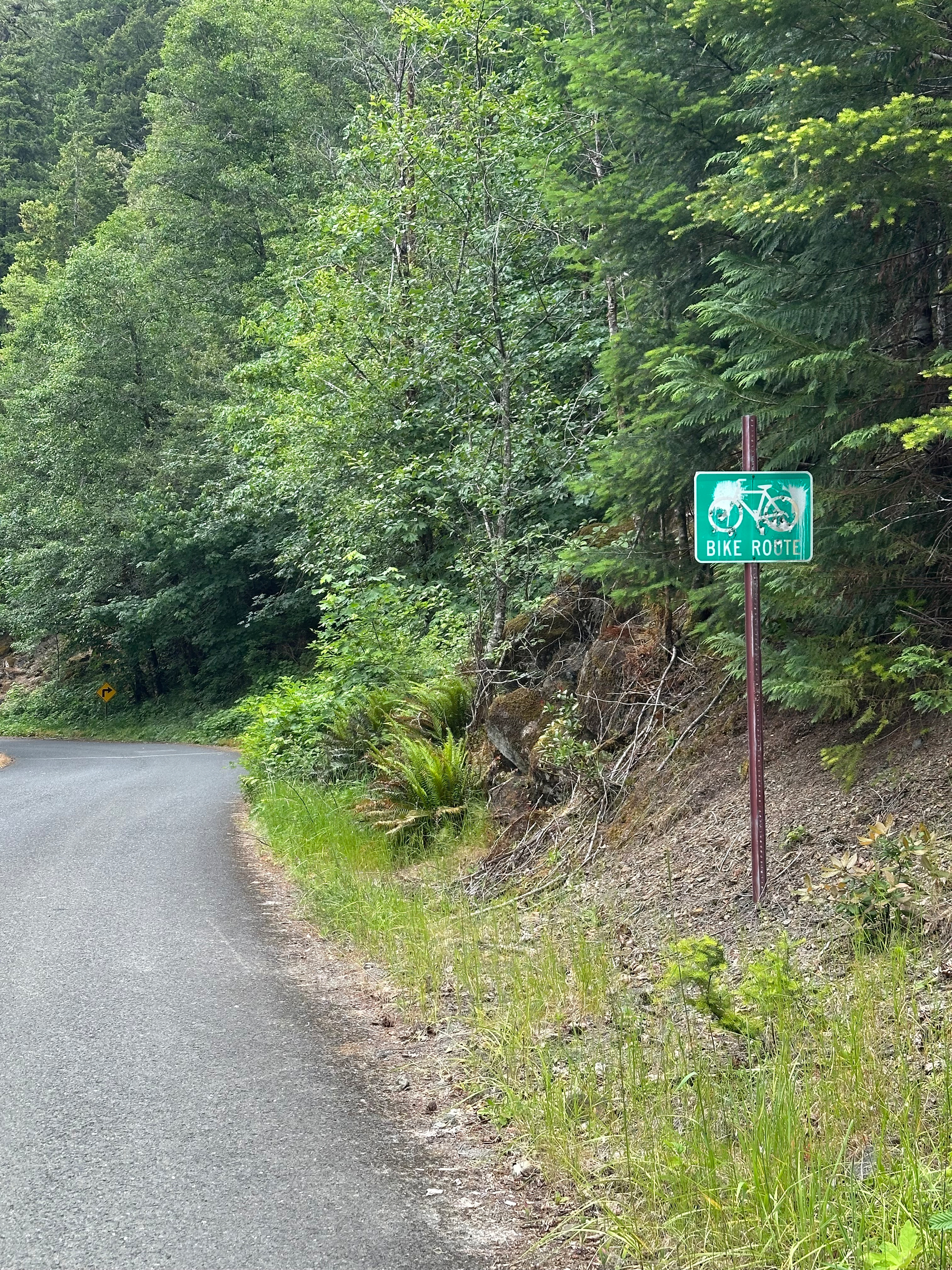
I started the day by immediately deviating from the Adventure Cycling Association (ACA) route. Right from Battle Rock Park there is an Oregon designated bike route that leads you through the residential section of Port Orford. It’s low traffic and lower speed than the ACA designated route on 101. Better scenery too.
After rejoining the route I rode for a mile on 101 (wide shoulders) and turned down a quiet farm road. Temperature was perfect for riding at around the mid 50s freedomheit. I said my second farewell to Suzanne at the turn to Elk River Road and rode off into the nicely overcast green hills.
The road transitioned from maintained two lane pavement to a tighter and rougher (for cars) paved section at the fish hatchery. Traffic was low the whole day, but it was a weekday. I passed a couple nice looking campgrounds on my way up to the dirt section and there were plenty of dispersed camping opportunities as well.
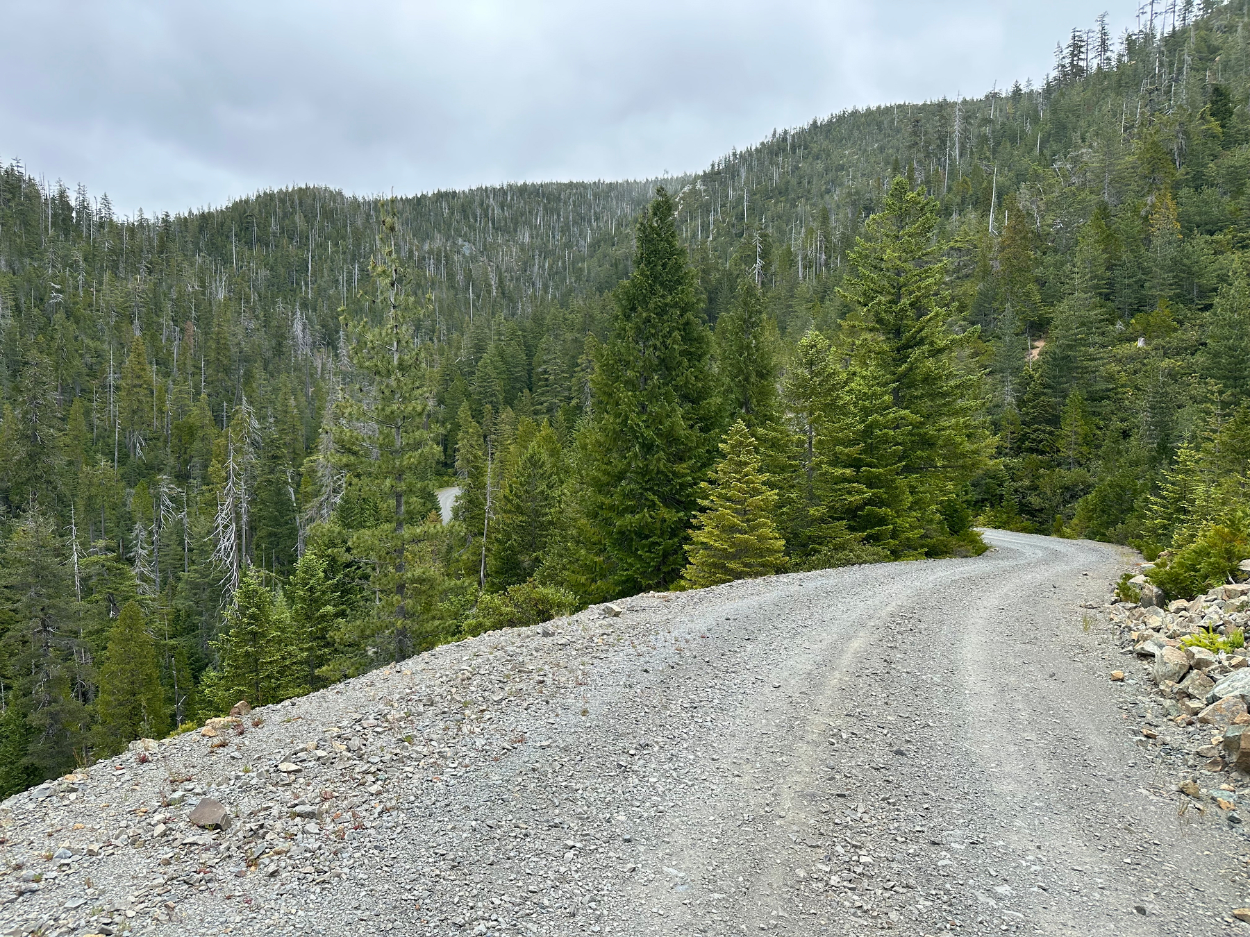
Once the road turned to dirt it became gradually rougher and steeper the higher you got. The forest was tunnel like through most of this section until the top. Near the top of the route the road was cut into the hillside and grades pitched up into the mid-teens, allowing you to see the route you had just rode through. I walked the last uphill hairpin and took a break in a light rain, cooling off.
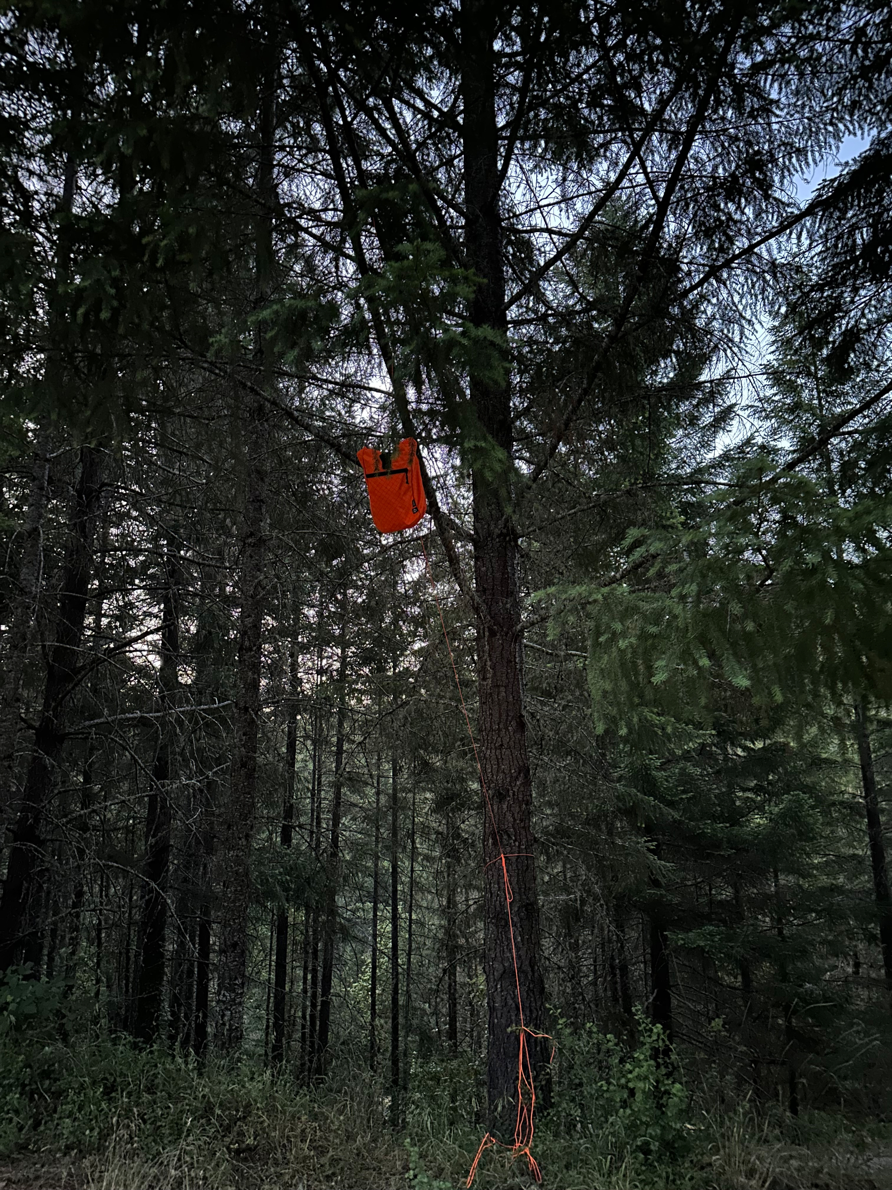
At the top of the climb (phew!) I descended into camp. First on fire roads and then on pavement. I stayed at Island Creek CG and shared the spot with a couple from near Yahats (Ya-Hots). Trash cans were not bear proof ones so I did not bear hang my food and lived to type the tale.
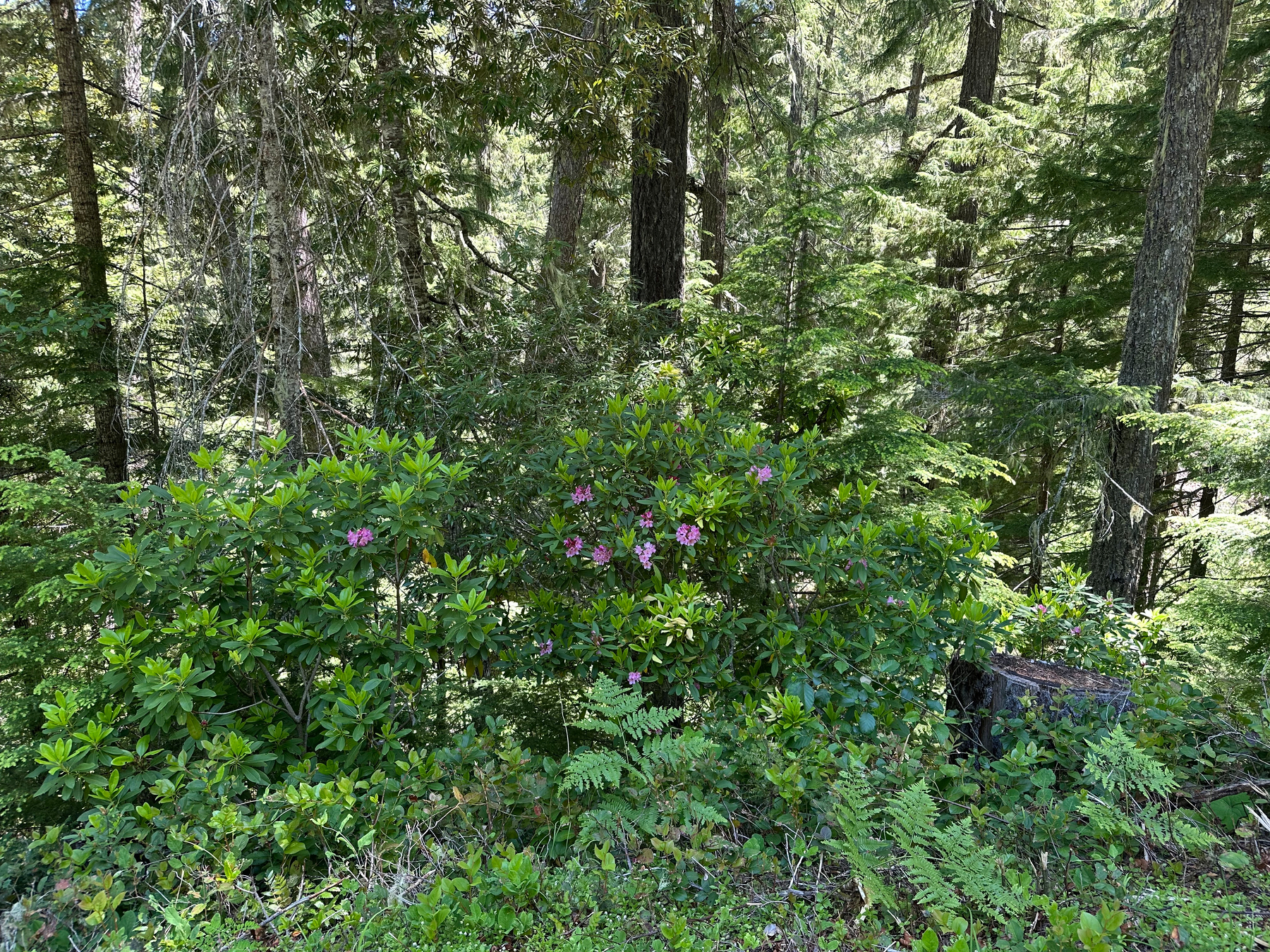
Coming from the high desert of Bend the entire day was pretty different and fun. Waterfalls along the roadway were common. Greenery everywhere, from the ground to the treetops. The sun was there, but buffered by the clouds. The day was hard, but rewarding. Plus, humidity, which given the temperature was not bad.
No other sign of cyclists on this route, not even tire tracks. Because of that I’ll talk about logistics and ‘if I had to do it again’ to help others.
By the numbers - 47mi and 4500ft
Logistics: Water - Collecting water on the downhills and mellow grades was easier than on the 8-16% sections of uphills. The worst grades are not well shaded and without water.
Camping - in addition to the marked campsites on the ACA Golden Gravel Trail route there are opportunities for dispersed camping. Id check out the Rick Creek CG if I had to do it over because it looked like more sites were closer to the creek (on the map).
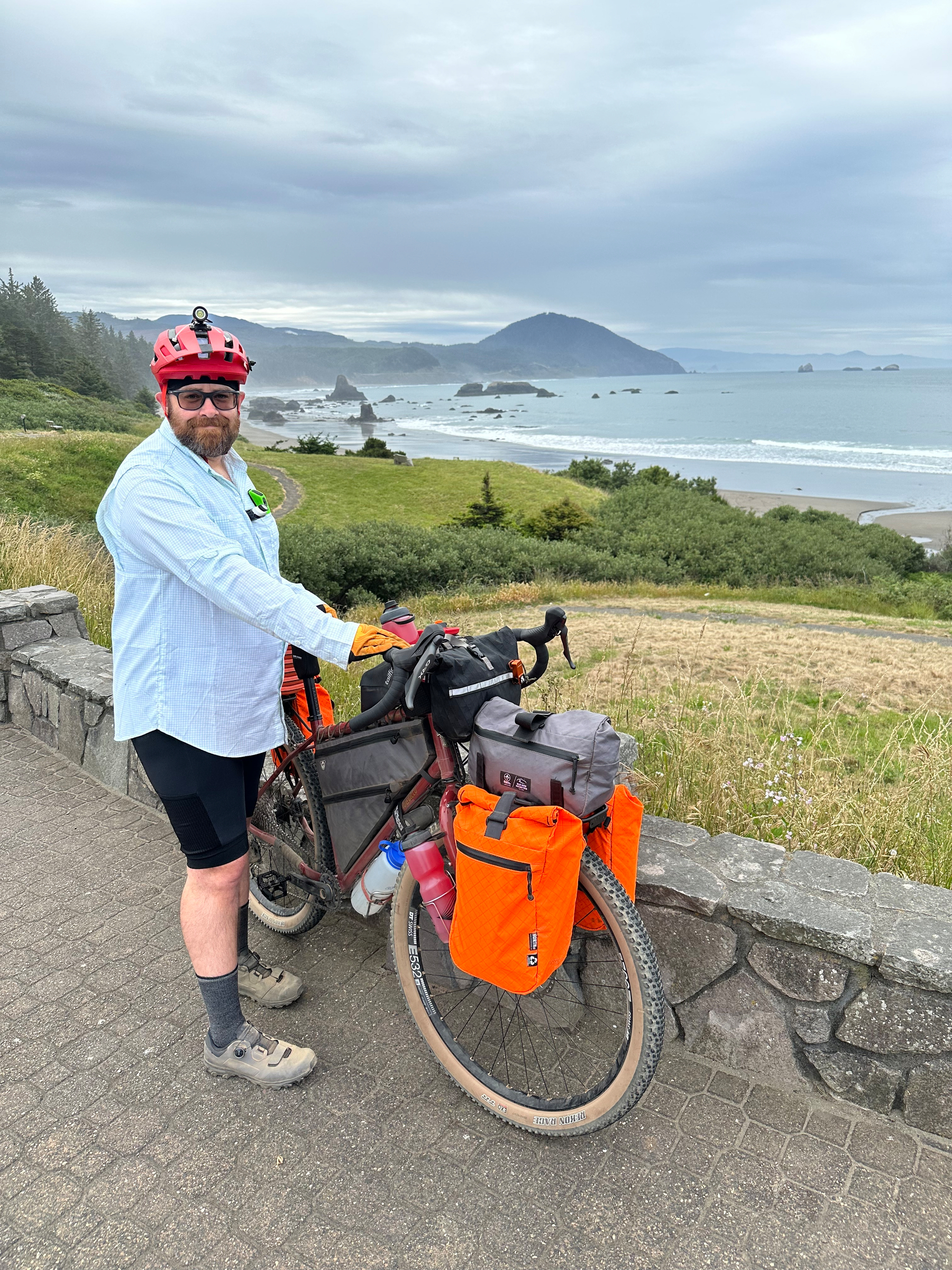
Beginning the ride tomorrow - time to discover and try something new.
Tomorrow I start the Golden Gravel Trail. My goal is to hit the Idaho border in a few weeks and head back home (via car extraction) at that point.
This will be interesting. I’ve never done a solo ride of this length. Will I like it? I have no idea how many (if any) cyclists will be riding this as well. The ‘trail families’ of the Great Divide were a lot of fun, but so is solo discovery. Reactions from businesses along the way have already been fun; they’re not used to bikes (‘?a pedal bike?’), but all have been welcoming or interested. I think that’ll be fun. The terrain we drove through today looks binary; either up or down, but it looks beautiful! Here is to the pedaling and personal discovery!
Wish me tail winds, no rain and 55 degree freedomheit days!
I’ll try to keep the posts coming for those who want to follow along.
Trip Report - GDMBR - Day 2 - June 28th 2025
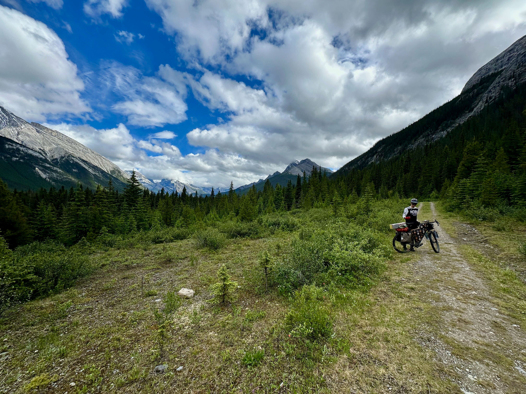
We started a bit late from Spray Lakes CG after a rainy night. I blame myself for not recruiting more child labor for water collection and purification. I had everyone’s bottles, but only my filter. It took a while. Suzanne eventually came to help, and the picture of her bike at the water pump area
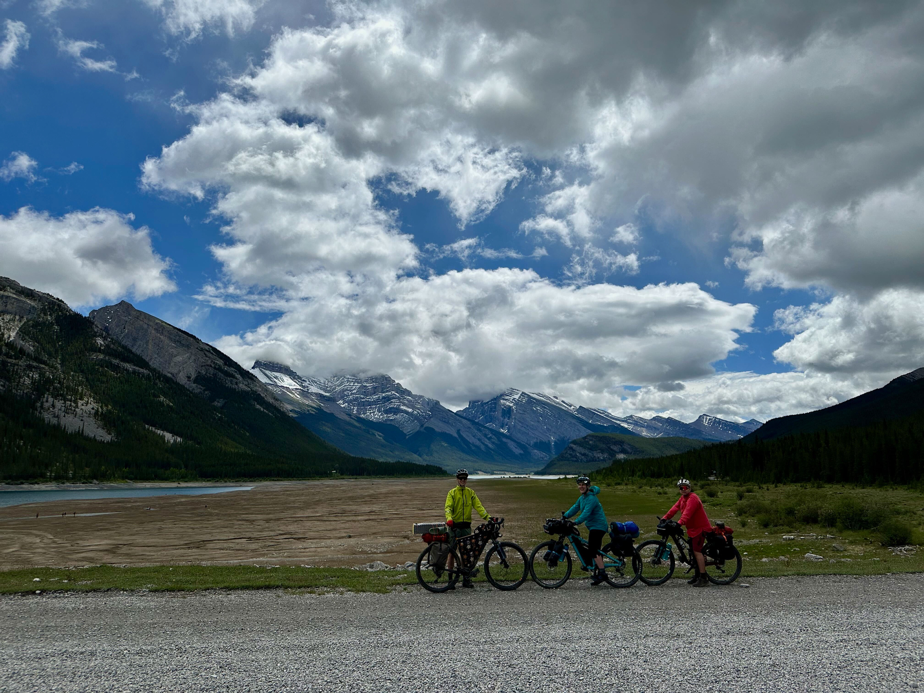
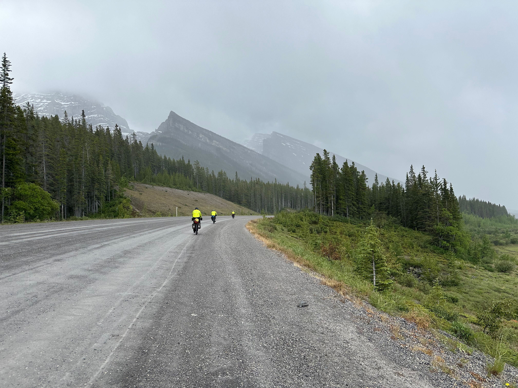
Once we were off and riding the weather was pure manic. We started off in the cold rain and then the sunshine would blast through. Rinse and repeat until it settled down later in the day with perfect temperatures (mid-60s Freedomheight) and sun. We played the on and off game with rain gear and worshiped our pogies for the first but not the last time.
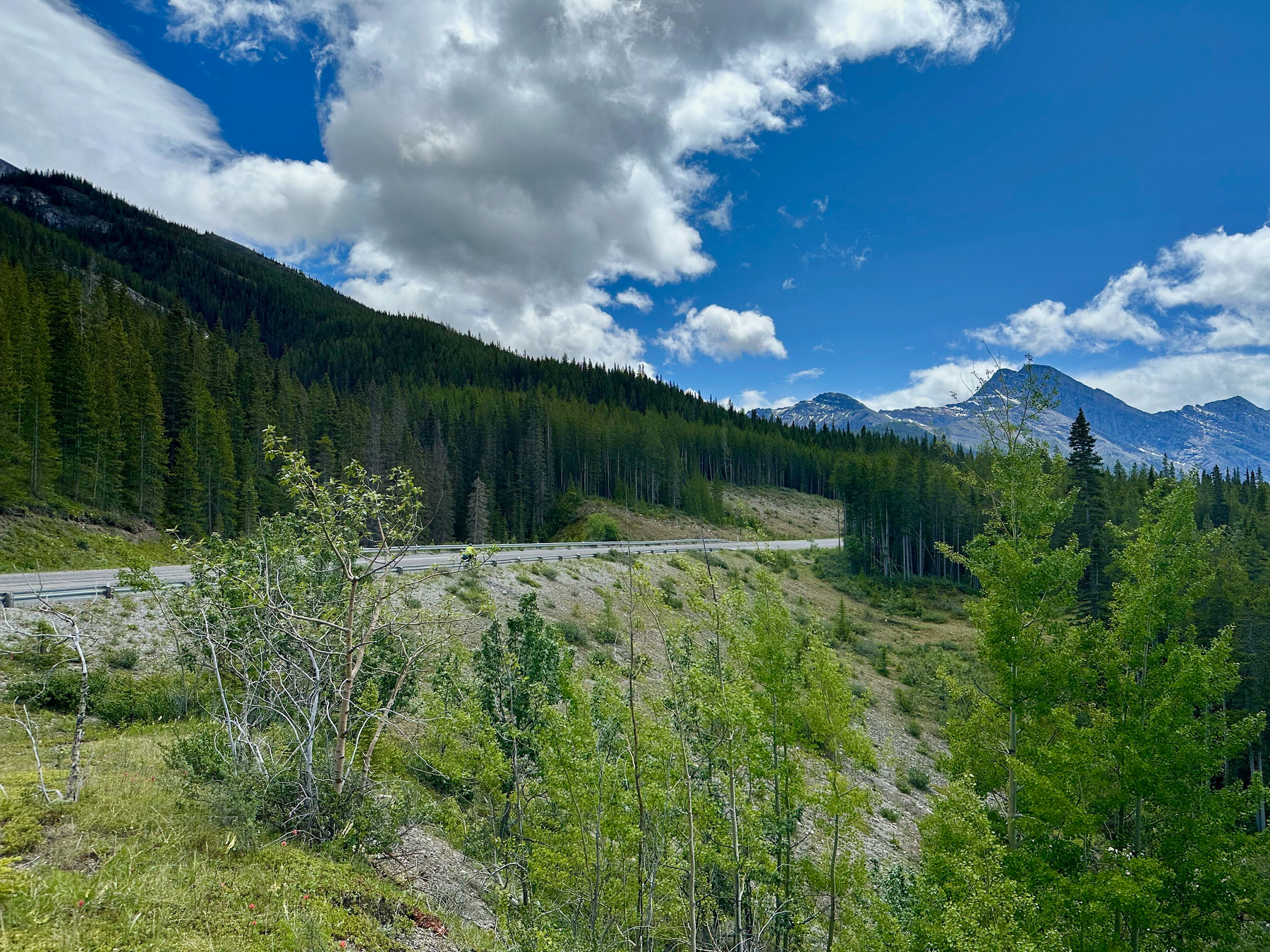
Terrain for the day was mostly a wide open champagne-gravel road that we shared with rental Kia K4s and minivans. If we didn’t get the rain I’m guessing it would have been epically dusty, but we had it good; easy pedaling and no choking on rental car dust. We had drivers pull over and warn us of a Grizzly ahead, but never saw a big brown snuggle buddy.
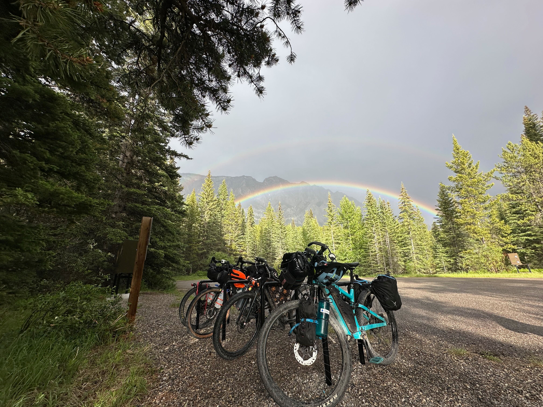
We initially planned to camp at the Canyon Campground, but it was full. The Canada Day Holiday was tough camping competition. We met up with the British father/son duo and they offered to let us camp with them, but that was too many tents on one site :( The camp hosts directed us to an alternative, Pocaterra Hut, that had NO ONE there, but was clearly setup for cyclists (bike tools, pump, stand, …) and camping (bear bins, water, pit toilets). We got to finish the night setup in a little stand of trees that were perfect for tents and a wind-down-while-unpacking rainbow.
By the numbers - 32.7mi, 3,169ft up, 2,241ft down.
Trip Report - GDMBR - Day 1 - June 27th 2025
The family started off on our Great Divide Mountain Bike Route (GDMBR) tour. We started a little off route, from Canmore, AB. Canada hooked us up with a bike path connecting to Banff National Park. Nice, Canada! Rainy, but still beautiful way to start.
We transitioned from bike path to Banff’s peak tourism to the legendary trailhead just past the Fairmont Banff Springs hotel. Past the hotel we were away from crowds and immediately into nature. We had a mix of single and doubletrack with amazing views.
We met (as they passed us) quite a few Europeans. A father and son duo, the son beast-modeing a jury rigged single speed that we’d meet again, and a young Polish man who was astounded Henry would love to visit Poland.
We camped at Spray Lakes West CG.
By the numbers - 35.1mi, 2,667ft up, 1,385ft down.